GIS & Satellite Intelligence for South Africa's Digital Infrastructure
A unified geospatial platform integrating satellite imagery, IoT telemetry, and AI analytics across water, governance, assets, and energy — purpose-built for South African municipalities, Water Boards, and Eskom.
One Platform. Four Solutions. Unified Intelligence.
Prepared for South African municipalities, Water Boards, and energy stakeholders seeking a credible, integrated digital transformation path.
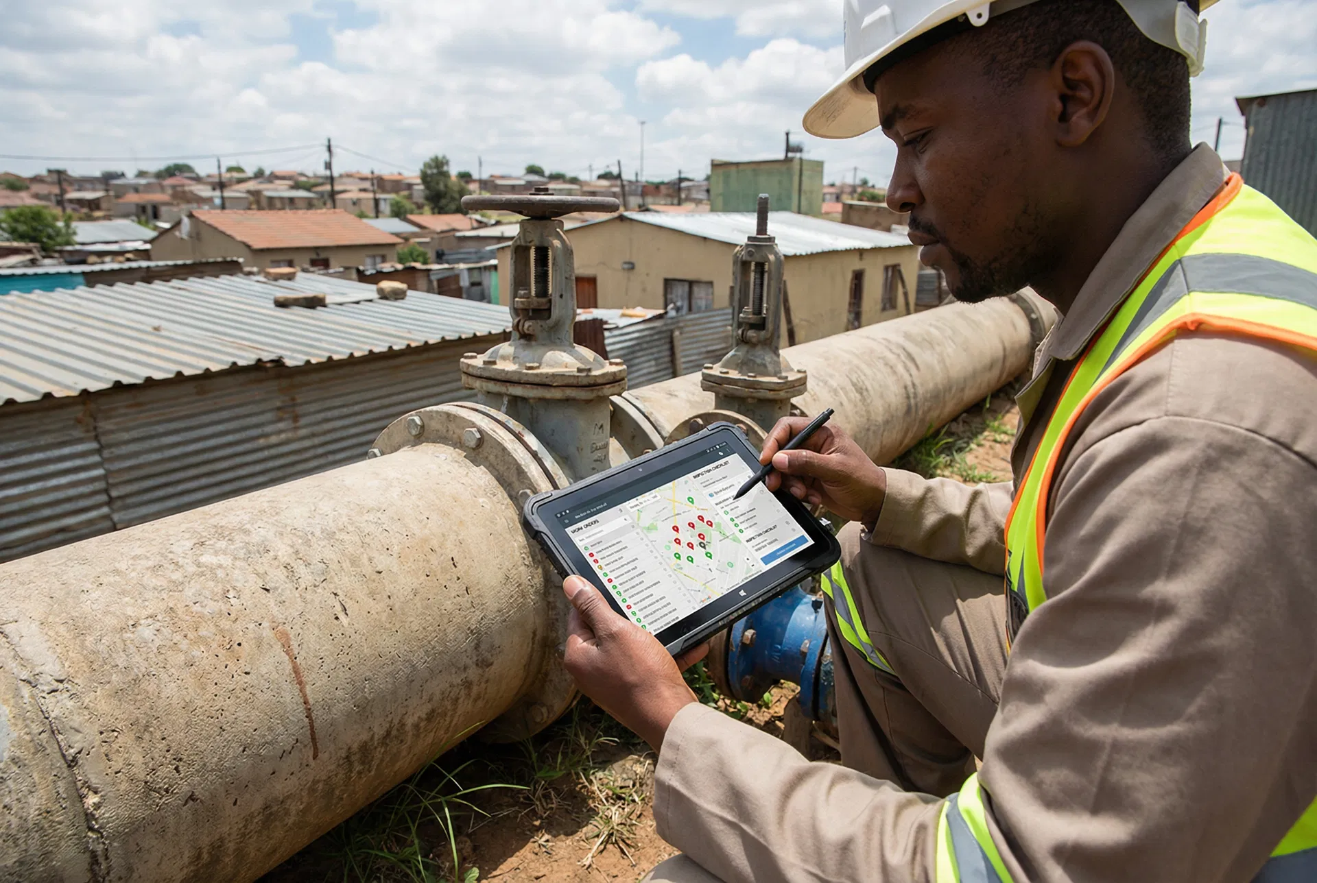
A single GIS-centric platform can credibly support all four requirements by turning location data into an operational system of record. For water, the platform combines telemetry, smart metering, satellite indicators, and field workflows to detect losses, improve response times, and strengthen asset planning.
For government service delivery, it adds geotagged forms, AI-assisted routing, and citizen engagement workflows. For energy, it provides the spatial registry, portfolio visibility, and settlement-support data model needed for virtual wheeling across Eskom- and municipal-connected sites.
Hub-and-Spoke Geospatial Platform
A shared geospatial data platform becomes the backbone. Domain applications consume trusted data and publish decisions, alerts, and transactions back into that backbone.
Each architecture layer is interactive. Click any layer to see a detailed description of what it contains and how it contributes to the platform.
Four Requirements. One Integrated Platform.
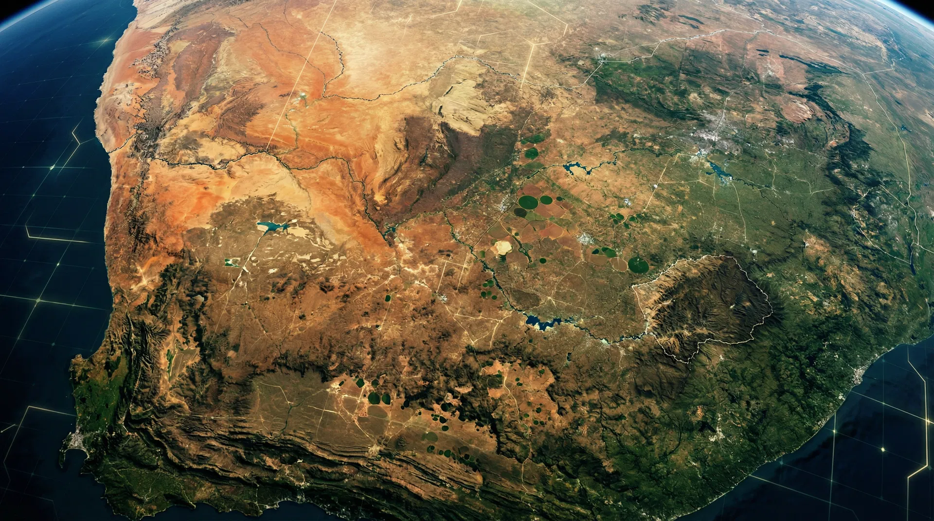
GIS and satellite imagery act as a shared digital layer across all four solutions, providing real-time visibility, predictive intelligence, and spatial decision-making.
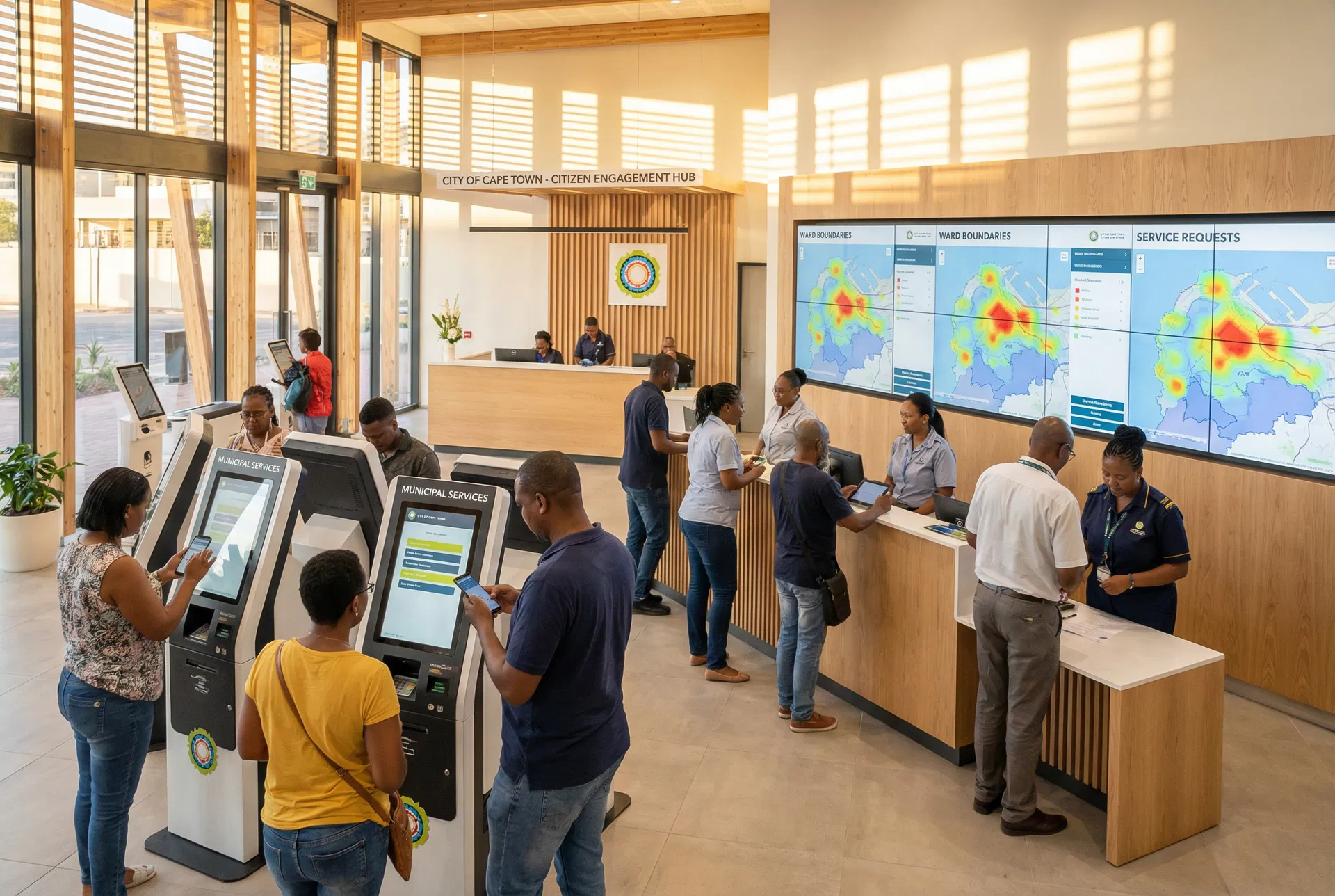
GovSuite
AI Workflows & Citizen Engagement

Digital Water Tower
Smart Water Command Centre
Digital Asset Management
Water Infrastructure Intelligence

Virtual Wheeling
Energy Platform & Grid Intelligence
Phased Delivery in 12 Months
A structured, risk-managed approach ensuring early value delivery while building toward full platform capability.
Foundation
- Stand up the GIS data model and integration layer
- Load priority base data: assets, service areas, meters, treatment works, reservoirs, substations/PODs, and customer records
- Launch priority dashboards and 2–3 high-volume citizen workflows
Operations
- Deploy Water Tower, mobile field operations, and automated work routing
- Integrate telemetry, bulk supply data, and smart meter feeds where available
- Begin AI-assisted anomaly detection and NRW hotspot scoring
Optimisation
- Add satellite/drone analytics, asset condition models, and portfolio forecasting
- Expand Digital Asset Management and long-term capital planning
- Introduce the virtual wheeling portal and settlement-support workflows once counterpart data is available
Recommended Stakeholder Operating Model
Ownership and operation are separated in the data model so municipal, Water Board, and Eskom-linked responsibilities remain clear and auditable.
What Determines Success
Five non-negotiable factors drawn from South African public-sector and commercial energy deployment experience.
Master Data Strategy
Establish a single asset and customer ID strategy early. Most downstream failures are master-data failures — a unified identifier scheme prevents duplication and data drift across systems.
Multi-Source Leak Detection
Do not treat satellite imagery as the only leak-detection mechanism. Combine it with telemetry, pressure, meter, and field evidence for reliable, actionable results.
Ownership vs. Operation Clarity
Separate ownership from operation in the data model so municipal, Water Board, and Eskom-linked responsibilities remain clear, auditable, and legally defensible.
API-First Integration
Use APIs and event-driven integration instead of manual spreadsheet exchanges wherever possible. This enables real-time data flows and reduces human error at system boundaries.
Governance from Day One
Build data quality, audit trails, access control, and evidence retention from the start. POPIA compliance, municipal delegations, and commercial energy processes all depend on it.
Ready to Transform South Africa's Digital Infrastructure?
Let's discuss how this unified GIS and satellite intelligence platform can be tailored to your municipality, Water Board, or energy portfolio. Request a demonstration or detailed scoping session.